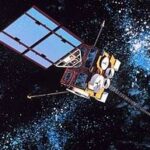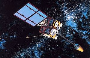
During tomorrow night’s QRV session, we will learn about NOAA’s GOES (Geostationary Operational Environmental Satellite) satellite system and how you can decode its transmissions for yourself. We will talk about what GOES is, how the data is channelized and transmitted, how you can setup your own ground station for receiving the data, and the software needed to parse the data into beautiful pictures of planet Earth. I’ll be focusing primarily on my setup, but there will be others on the call who have made their own ground stations who can also share tips and tricks on how they setup their systems.
We look forward to seeing you on Zoom tomorrow evening!
Meeting Recording
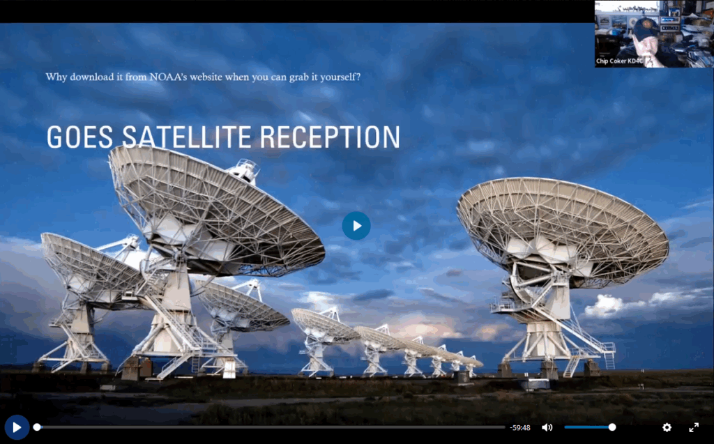
Session Resources
Link to my Google Drive with presentation, demo video, text file with links, and the images I collected during the 2 hours I had the system hooked up (directory structure is what comes directly from the satellite).

